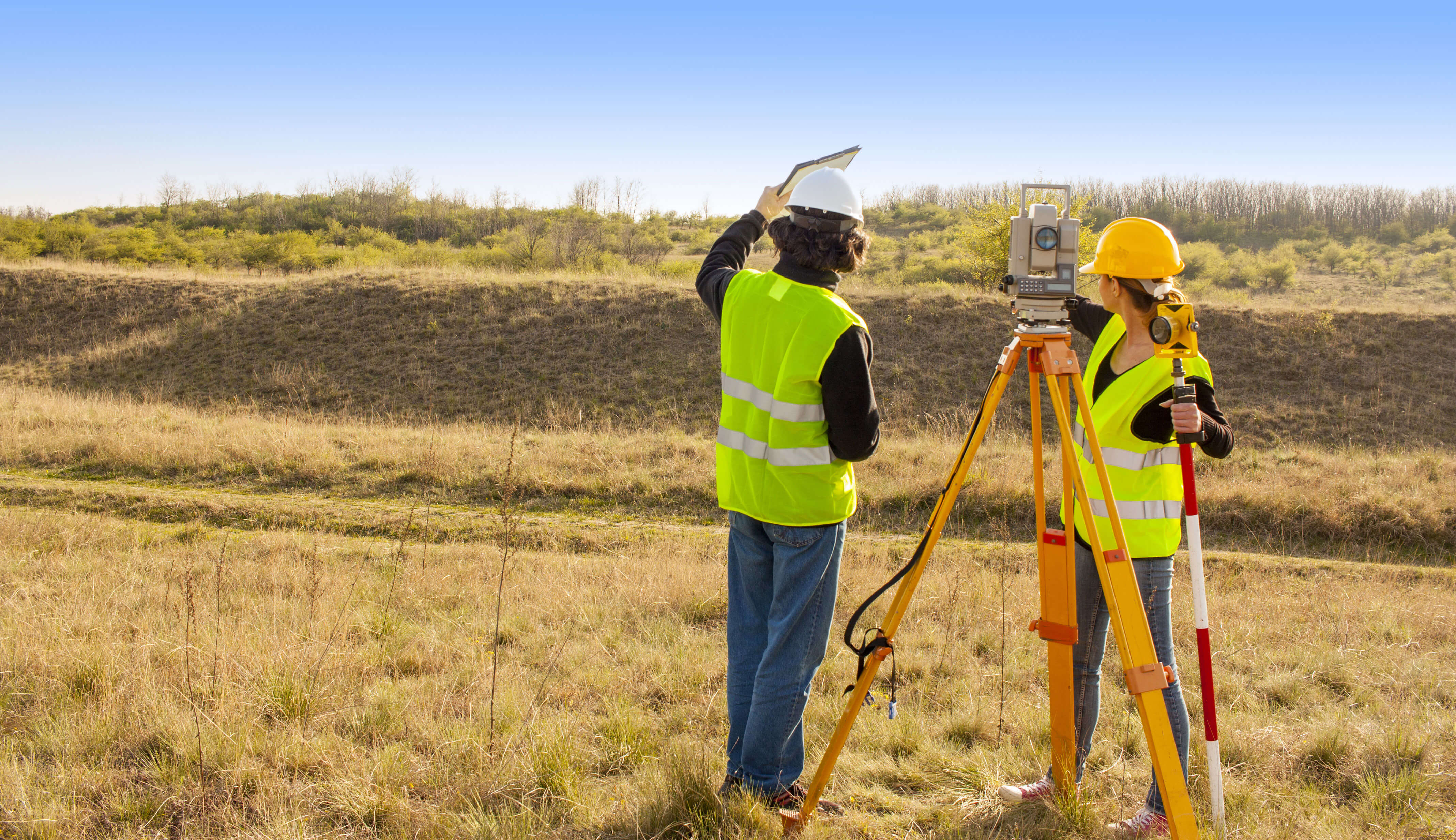
A High-Quality Topographic Survey
When planning a large-scale institutional or governmental building project, you should ask experienced experts to prepare a topographic survey. At Denicourt Arpenteurs-Géomètres Inc., our expert land-surveying team work efficiently, rigorously and with an acute sense of detail.
Preparing Various Types of Plans
The topographic survey details terrain positions and elevations. It is useful to all experts working on the project as it helps them adapt a building project to the conditions of the terrain.
It can also help identify potential flood zones or calculate the percentage of a slope; this helps to precisely determine the best position for a future building.
The topographic survey plan includes a survey of the sector. This allows engineers, landscapers and architects to prepare appropriate plans. At Denicourt Arpenteurs-Géomètres Inc., we specialize in producing this kind of document.
When producing a topographical survey, a land surveyor illustrates the terrain’s dimensions and integrates all natural and artificial elements of the surroundings, such as:
- Buildings
- Water streams
- Communication channels
- Contour lines
- Etc.
Our teams execute the above tasks with a great sense of precision and work rigorously to produce detailed documents.
Contact us today and see how we can cater to your needs!
Contact us!


