At Denicourt Arpenteurs-Géomètres Inc., we specialize in drone land surveying and photogrammetry. For projects requiring innovative surveying techniques, you can trust our team’s know-how.
This land-surveying operation is used by the following sectors:
- Agriculture (drainage, pesticide and fertilizer management, farm planning, growth and productivity evaluation, etc.)
- Commercial companies (tourist attractions, archaeology sites, protected areas, golf courses, ski resorts, housing projects, etc.)
- Mines and sand lands (volumetry)
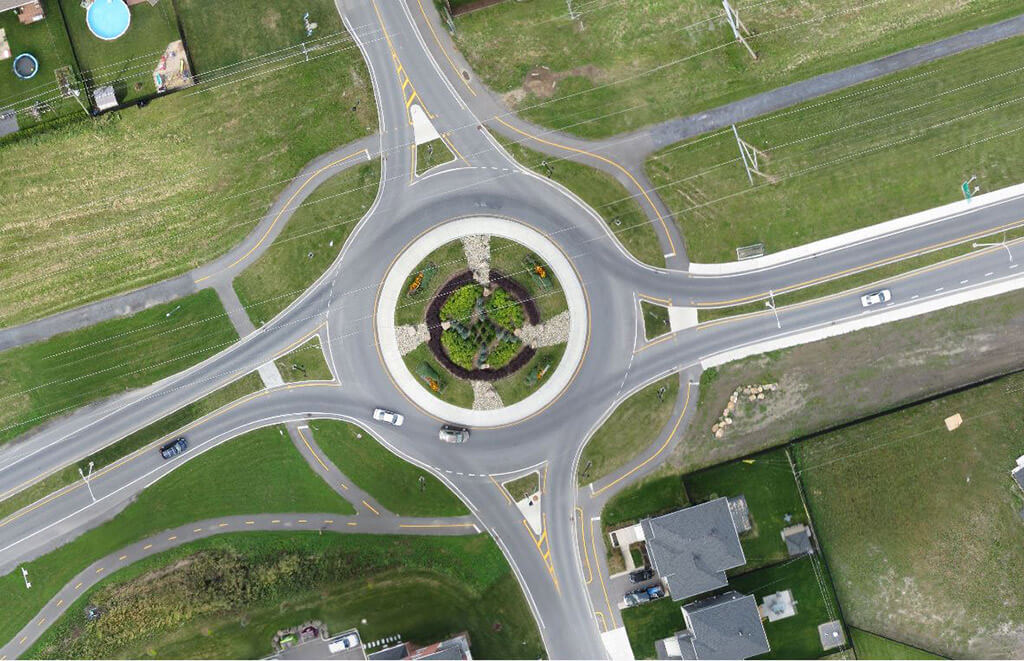
A Precise Definition of a Phenomenon
According to the Ordre des arpenteurs-géomètres du Québec, drone land surveying and photogrammetry are techniques that allow us to clearly identify forms, dimensions and positions within a certain space using a stereo pair of photos.
Drones can capture high-quality images with a resolution of up to 2 cm, which is 10 times more precise than satellite imaging. Thanks to our sophisticated tools, we can produce 3D digital terrain models with 5 cm accuracy.
Photography Treatment
Photogrammetry is a science which measures terrain elements with great precision through the use of photography. We can extract a very impressive amount of data from photos to help with future production plans and maps of all types. Photogrammetry is particularly useful in our field as it helps us to determine the altitude of a terrain by using two matching aerial photos. The digital treatment of images recreates a human’s 3D vision and allows us to obtain accurate data on the shapes, dimensions and positions of certain natural or artificial objects found on the property.
In Canada, those who wish to use drones for commercial purposes must obtain a Special Flight Operations Certificate from Transport Canada. At Denicourt Arpenteurs-Géomètres Inc., our drone service fully conforms to applicable regulations.
Call us to set up an appointment and learn more.
*Drone land surveying is only available when weather conditions are favourable.
Contact us!