To illustrating sea floor topography, it is recommended that you work with an experienced land-surveying firm renowned for providing an excellent service. If you wish to get a high-quality bathymetry plan, work with our team today.
 An Underwater Topography Plan
Bathymetry is essentially a topographic map of the bottom of a lake or water stream.
Bathymetry consists of measuring marine depths to determine the topography of a seafloor. Thanks to this process, we can obtain bathymetric curves, or in other words points of equal elevation, which helps us to illustrate underwater relief.
Precise Understanding of the Depths
Bathymetry can be useful for excavation or for subaquatic surveys. The bathymetric plan includes the following data:
- Surface area
- Volume
- Average depth
- Maximum depth
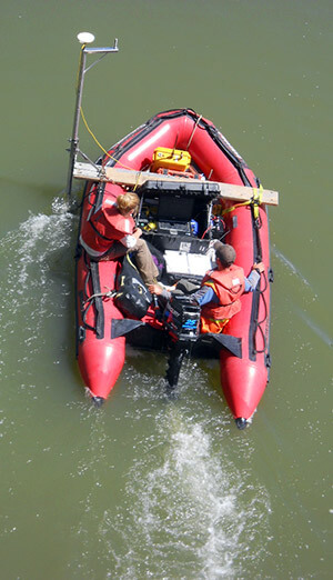
At Denicourt Arpenteurs-Géomètres Inc., we execute topographic and bathymetric surveys using sophisticated echo sounders and GPS systems.
Contact our team to learn more about this specific expertise.
Contact us!