To obtain a digital terrain model (DTM) for one of your projects, come to Denicourt Arpenteurs-Géomètres Inc. Our high-precision procedures are known for their excellence, and cater to a wide range of clients, including the government of Quebec.
An Area of Land in 3D
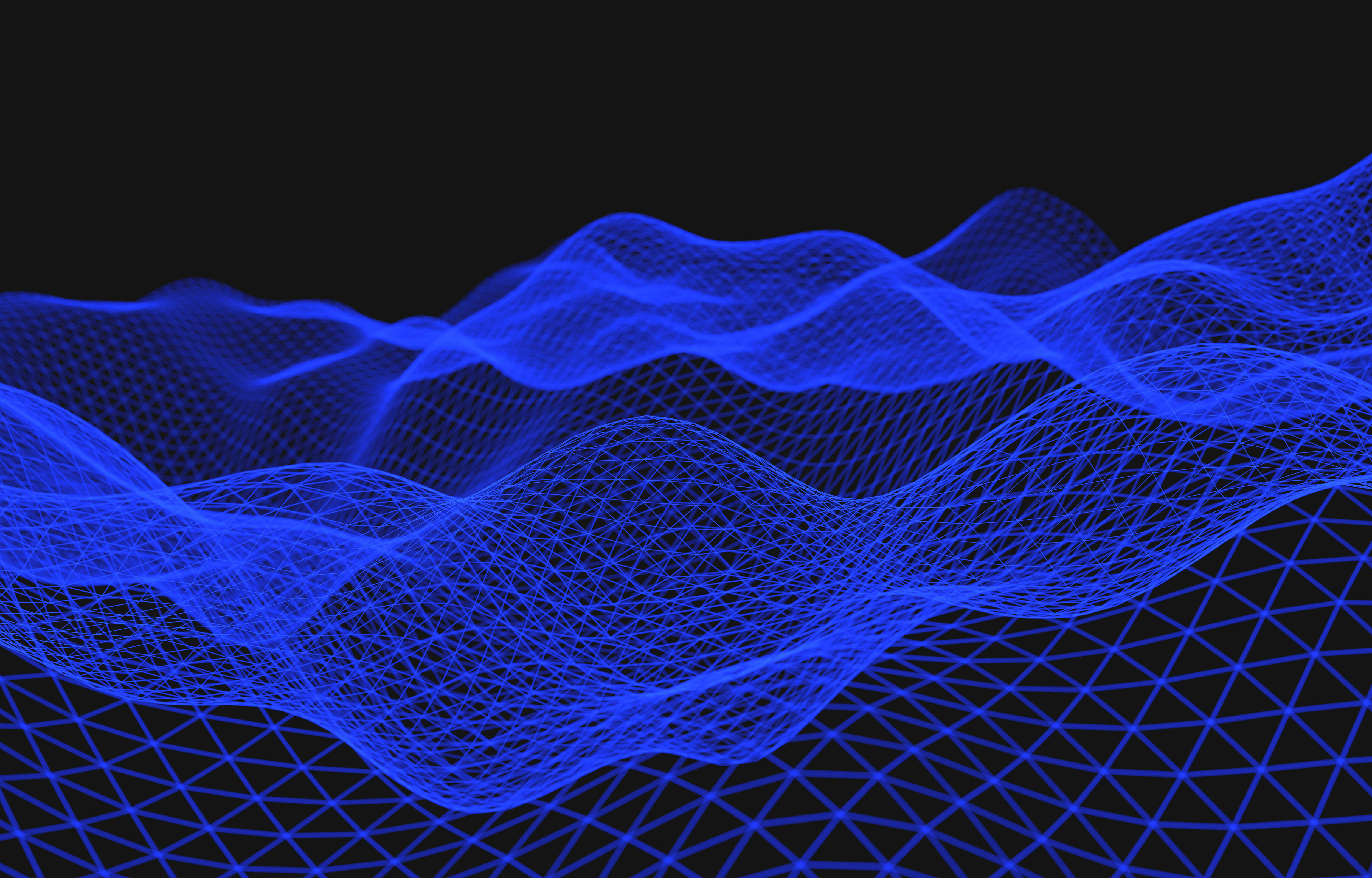
On a visual level, a digital terrain model is a 3D representation of an area of land. It consists of a simplified image that shows the ground altimetry and is formed with cells, pixels and dots that are linked together irregularly, forming a triangular or rectangular mesh.
A digital plan makes it easy to visualize a terrain’s topography and is helpful when calculating slopes, sections, curves and elevations. A digital terrain model does not take into account elements above the ground such as trees and buildings.
Possible Functions of a DTM
A digital terrain model may come in handy in these circumstances:
- Identifying the boundaries of a parcel of land
- Construction a topographic profile
- Water stream modelling
- Infrastructure design
- Aerial photography rectification
- Transport system elaboration
At Denicourt Arpenteurs-Géomètres Inc., we use the most sophisticated tools in the industry to produce digital terrain models that abide to the country’s highest industry standards. To learn more about the way we work, set up an appointment by calling our team today!
Contact us!