Notaries are regularly summoned upon to work on files in which farming rights are concerned. In order to subdivide terrains while complying to applicable laws, you can trust our experts at Denicourt Arpenteurs-Géomètres Inc. For each of our mandates, we make sure to offer a personalized service to our clients and help coordinate exchanges between different parties (municipalities, owners, farmers, etc.)
Vast Knowledge of the Territory at Your Service
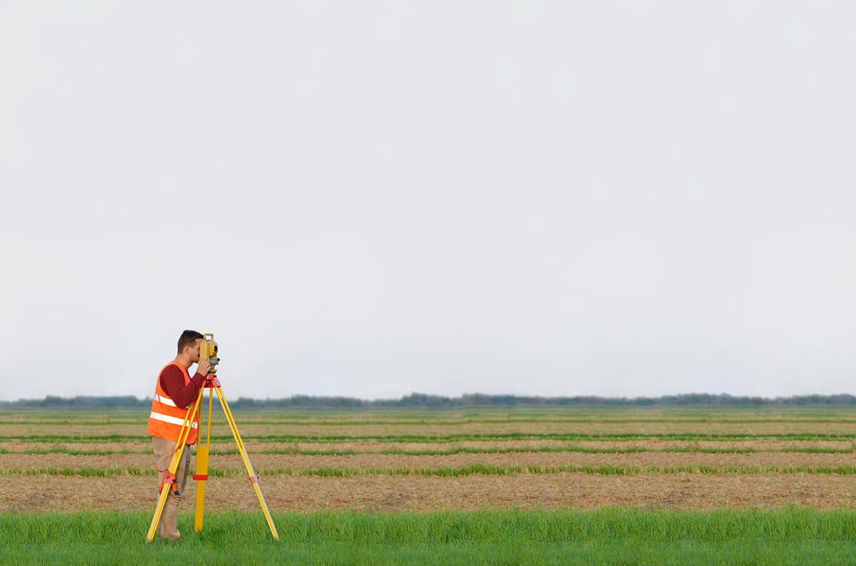
A layout of farming land requires a full analysis of the territory and is comprised of the following elements:
- A building cartography
- Environmental constraints
- Regional economic issues
- Farming exploitations
- Landscape peculiarities
At Denicourt Arpenteurs-Géomètres Inc., we take the time to subdivide terrains to maximize properties. This allows us to define one section of the property as residential, and another, as farming.
Our team of specialists knows the Montérégie territory extensively. This region holds many farming zones. Over the course of 40 years, we have built our experience and expertise in land surveying and have worked extensively in municipalities throughout Montérégie.
Better Understand the Decree on the Protection of Territory
On November 9, 1978, a decree was established concerning farming zones in accordance with the Act respecting the preservation of agricultural land and agricultural activities, chapter P-41.1. The decree aimed to restrict urban development and land sectioning to ensure the protection of farming territory.
Remember that an acquired right is linked to the property, not the owner. It allows for status quo. Put differently, it is a right to use a new construction or a lot that was constructed before the introduction of new regulations that prohibits or regulates the way the buildings are used.
It is therefore possible for an owner to claim the right to detach their home or their business from the farming land if either of these existed before the creation of the decree. With full respect for zoning rules, the land surveyor determines the terrain’s dimension and includes all physical elements that are for non-farming use. They then draw a plan that identifies the acquired rights.
Let our team guide you! Contact us and make an appointment.
Contact us!