Experts in Staking
Our expertise allows us to identify all litigious or grey areas when it comes to boundaries. At Denicourt Arpenteurs-Géomètres Inc., our team conducts professional staking operations in a safe and skillful manner.
Visually Indicate the Limits of a Lot
In the province of Quebec, staking operations are regulated by the Regulation respecting standards of practice for staking and layout of the Ordre des arpenteurs-géomètres du Québec (L.R.Q., c. A-23, r. 11).
Staking involves a series of tasks which help land surveyors provide their professional opinion on land boundaries. Staking requires the use of visual markers (rods, stakes, etc.) that bear the land surveyor’s name and registration number.
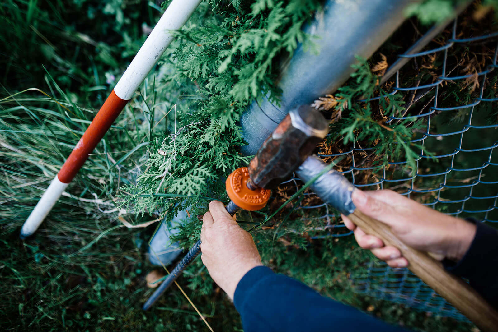
Staking may be used to identify the corners of a lot, or even to illustrate the arch of a curve or an ideal alignment.
Staking is a service provided for the sole use and purpose of the client. A staking certificate produced by a land surveyor includes a detailed plan (indicating the position of landmarks), the date the work was carried out and the requester’s name.
If the land surveyor were to discover a problem concerning the property’s boundaries while conducting the analysis—one that may jeopardize the occupancy or cause issues with neighbours—they must not install land markings.
If the land surveyor were to discover a problem concerning the property’s boundaries after the analysis—one that may jeopardize the occupancy or cause issues with neighbours—they must, according to Article 8 of the Regulation respecting standards of practice for staking and layout, the land surveyor must communicate with the neighbours involved and investigate the situation. After this investigation, the land surveyor may decide to refrain from installing some or even all of the markers. Regardless of their decision, they must produce a staking certificate that demonstrates where they feel the the property’s boundaries are positionned.
In cases where boundries cause issues with neighbours, boundary determination (a type of land-surveying service) is required by law and involves the neighbouring land owners.
To learn more about the services we provide to institutional and governmental clients, contact us without further ado.
Contact us!