Geodesy is like topometry but on a larger scale. At Denicourt Arpenteurs-Géomètres Inc., our main frame of work in this specific sector of land surveying consists of densifying geodesic points across the province of Quebec. Partner with us and we’ll execute all your land-surveying localization needs.

A Revolutionary Science for Land Surveying
By definition, geodesy is the science that determines the size and shape of the Earth. It also determines its field of gravity within a three-dimensional time-varying space. This science can therefore measure the position (latitude, longitude and altitude) and movement of points on the surface of the Earth. It can determine the shape of the geode, the imperfect sphere we call Earth.
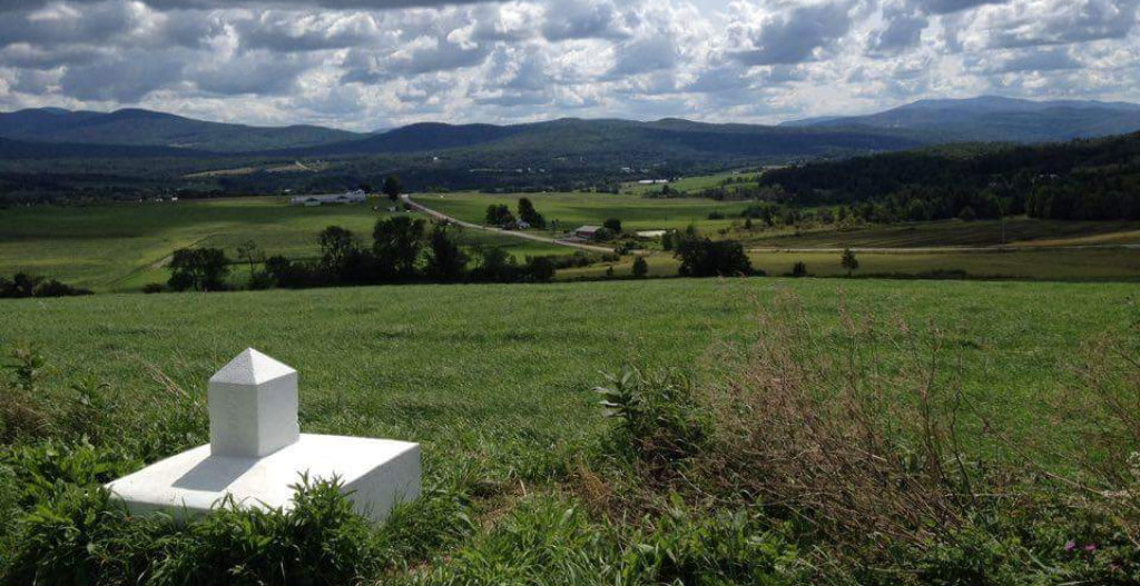
This complex science has certainly revolutionized land surveying. By using its concepts and calculations, we can determine precise locations of coordinates on Earth. Over the years, land surveyors have built a network of points and know their exact coordinates: these are called geodesic points. These official landmarks have a high accuracy on the order of a millimeter and are available in all municipalities.
Of course, localization and measuring techniques have considerably evolved over time. Angle and distance measurement observations have gradually been replaced by GPS positioning.
Identifying a Witness Point
When implementing a geodesic point, the land surveyor identifies a witness point that usually resembles a rectangular plastic orange sign and is often attached to an electric pole.
In land surveying, geodesic points are used to carry out topographic surveys, to establish lots and to build a variety of structures such as bridges, roads, dams and more. Municipalities and other entities often use them to locate infrastructure such as streets, energy transportation channels, fire hydrants and more.
At Denicourt Arpenteurs-Géomètres Inc., we leave nothing to chance when it comes to geodesy.
To learn more about our expertise in the matter, contact us.
Contact us!

