A Flawless Topographical Survey
Each stage of an investor’s or promoter’s project must be well coordinated to avoid wasting time and money. For land-surveying tasks, including topographic surveys, investors and promoters have all the reasons in the world to trust experts such as us who have developed a wealth of expertise over the past forty years. At Denicourt Arpenteurs-Géomètres Inc., our team of experts provide clients in Montérégie, Greater Montreal and the Eastern Townships with land surveying services that meet the highest quality standards.
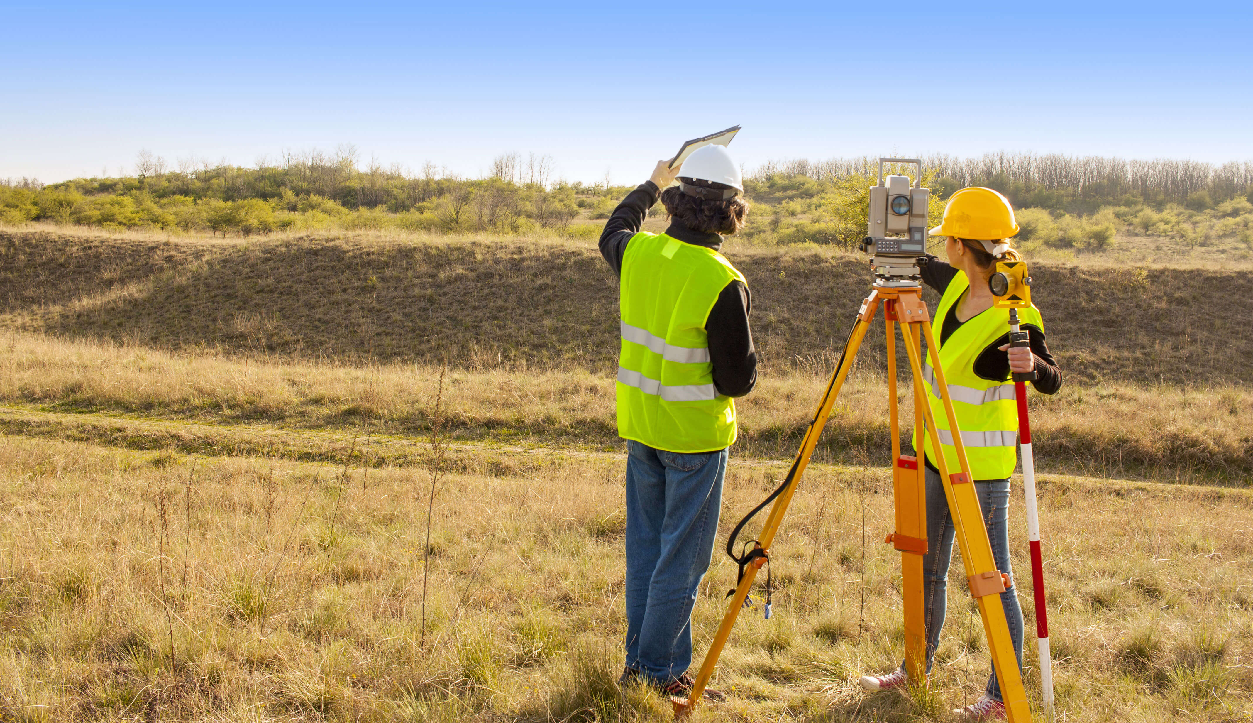
Planning and Executing Projects Efficiently Starts With a Plan
This plan provides a topographical survey of a sector and is a useful land-surveying tool to which many specialists (engineers, landscapers, architects, etc.) refer when building their respective plans.
It can also help identify potential flood zones or calculate the percentage of a slope. The topographical survey can precisely determine where a future building should be built while helping you avoid costly planning errors.
When producing a topographical survey, a land surveyor illustrates the terrain’s dimensions and integrates all natural and artificial elements of the surroundings, such as:
- Buildings
- Neighbouring buildings
- Water streams
- Communication channels
- Contour lines
- Occupancy and layouts
The topographical survey also details the position and elevation of all land elements. It is therefore a solid document that helps all professionals involved in the project to create accurate plans.
Call us today to find out more!
Contact us!